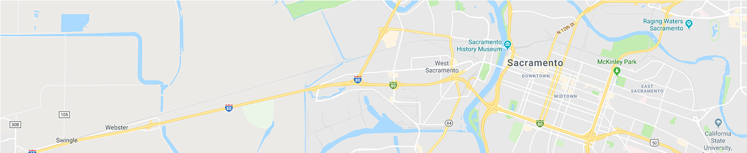
West Nile Virus Activity MAP
Below is a map of confirmed positive samples of West Nile virus activity in Sacramento and Yolo counties to date this calendar year. For a list view of this data, please see the West Nile Virus Activity page.
The maps and data shown below (click for full screen) is from the California Vectorborne Disease Surveillance System (CalSurv), a cooperative effort between the District, the UC Davis Arbovirus Research and Training Laboratory, the California Department of Public Health and the Mosquito and Vector Control Association of California.